Drone technology isn’t just changing photography—it’s redefining what’s possible. From breathtaking perspectives to precise, high-resolution data, the sky is no longer the limit; it’s your new vantage point. At Acute Drone Services, we don’t just capture images; we unlock operational efficiency. We combine technical expertise with cutting-edge versatility to deliver the aerial insights your project needs to soar.
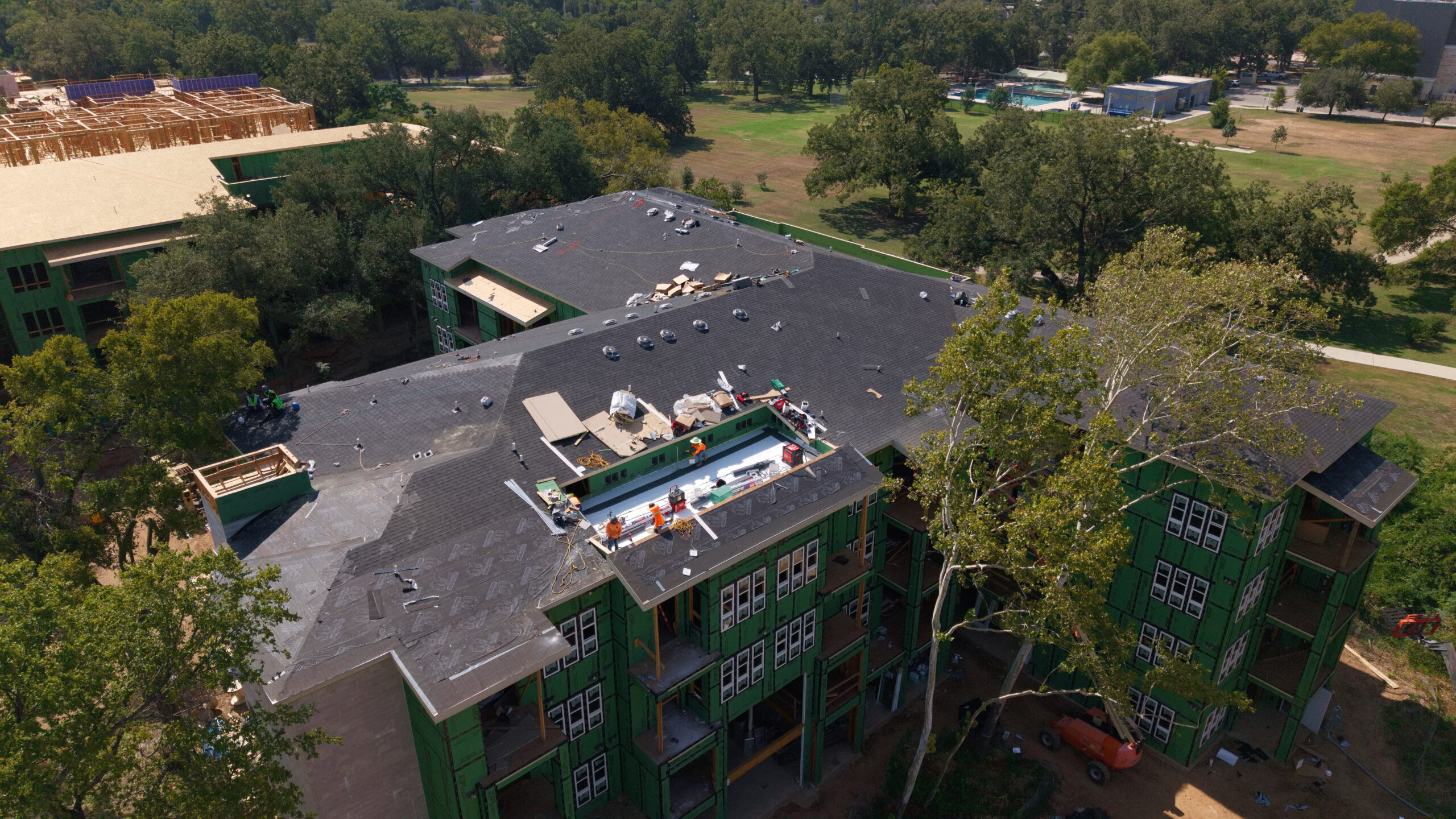
Capture more than just a view—capture the data that drives your success. At Acute Drone Services, we leverage the power of enterprise-grade drone technology to provide a total perspective on your project. Whether it’s high-resolution aerial imagery for real estate, construction progress tracking, or technical structural assessments for critical infrastructure, we specialize in accessing the inaccessible. By combining precision geospatial workflows with a wide range of professional imaging services, we help you reduce operational risks, save valuable time, and capture critical data in even the most difficult-to-reach areas. Let us handle the complexities of flight, regulations, and hardware so you can benefit from professional-grade aerial intelligence without the overhead and liability. Ready to take your project to new heights?
Professional, certified, and ready to fly. At Acute Drone Services, we believe in best-in-class results delivered fast. Whether you need immediate aerial data or a comprehensive project survey, we offer an efficient, affordable, and fully insured solution. Our pilots are FAA Part 107 certified, bringing precision and safety to every engagement. Let’s get to work.
Providing Best in Class Service along the IH35 Corridor from San Antonio to Waco and surrounding cities in between